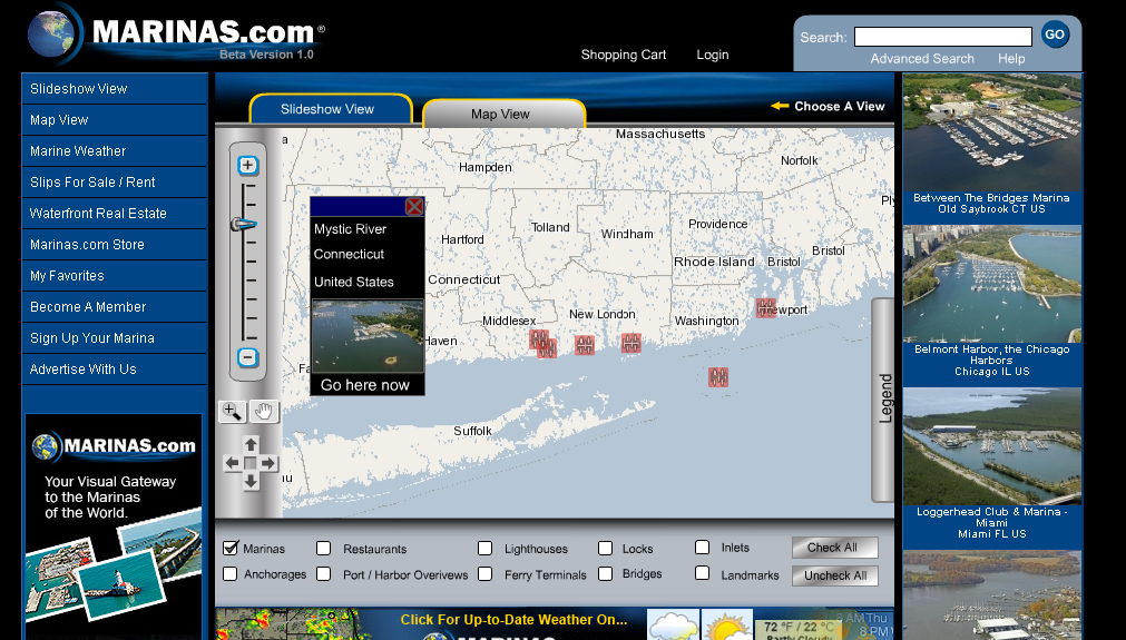
Marinas.com
 As a high school senior in 2005, when drones nor Google Maps existed, I took on a freelance project to create "The premier website for marine information". The client was a cartography partner with Garmin coordinating aerial photo shoots of coastal locations in a dozen countries.
I took on a freelance project to create "The premier website for marine information"
In response a plethora of DVDs showing up on my door step, I developed a "human in the loop" tool used by the photographers & pilots to upload photos from in the field. The tool made use of artificial intelligence algorithms to extract GPS coordinates from metadata. Recommendations were made along with a confidence percentage regarding how to cluster, classify, and catalog data by coalescing numerous data sources. Workers reviewed & made adjustments as needed. The system had built in book-keeping for compensating the workers.
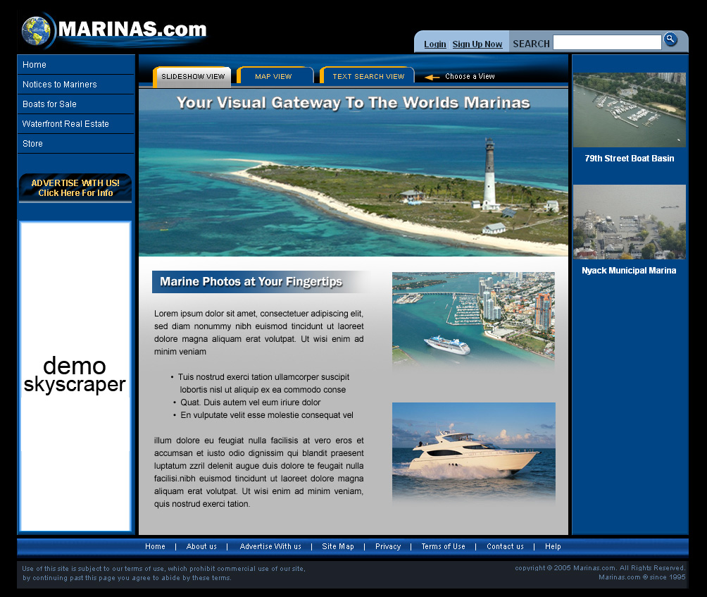
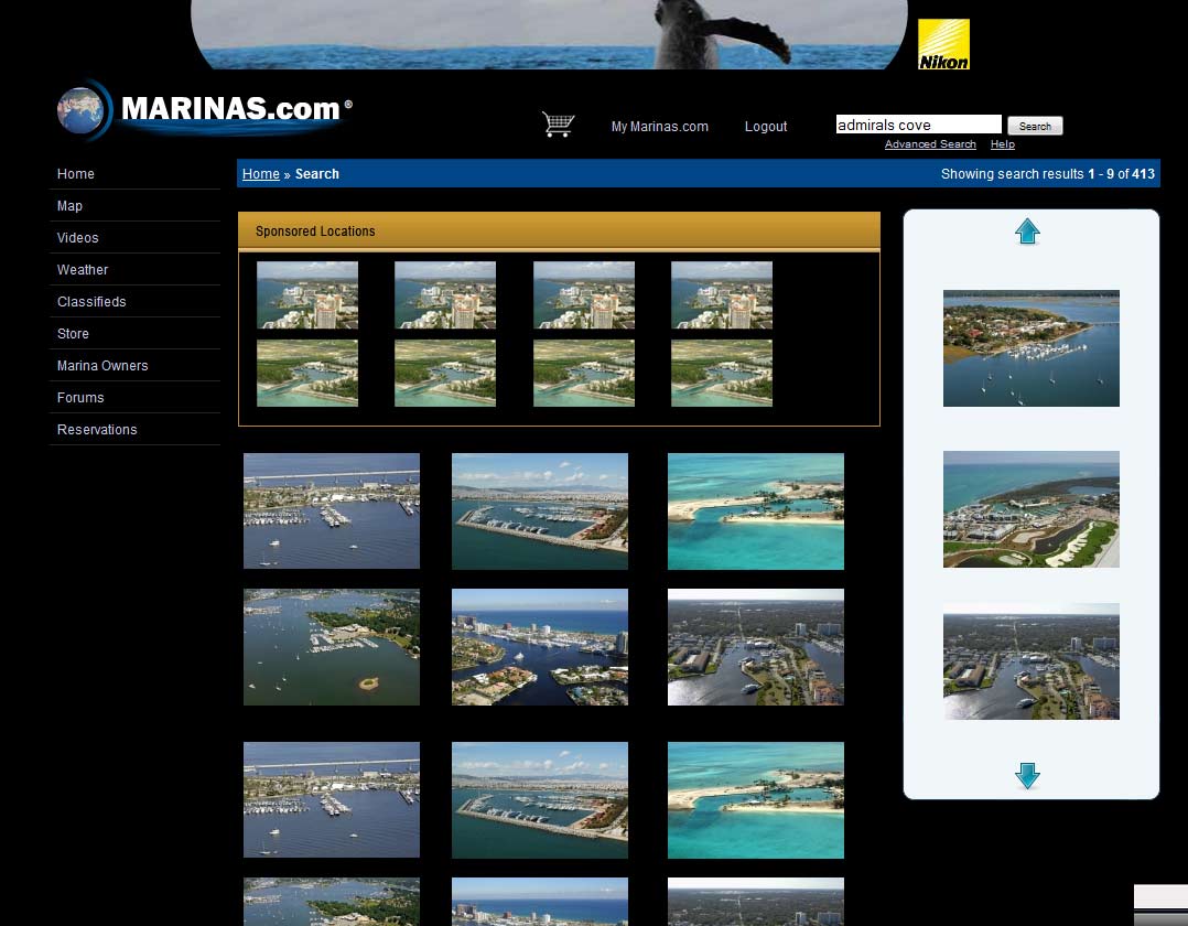
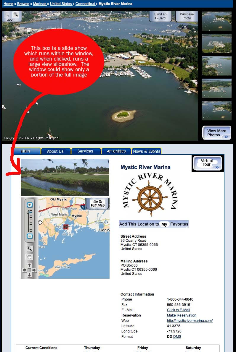
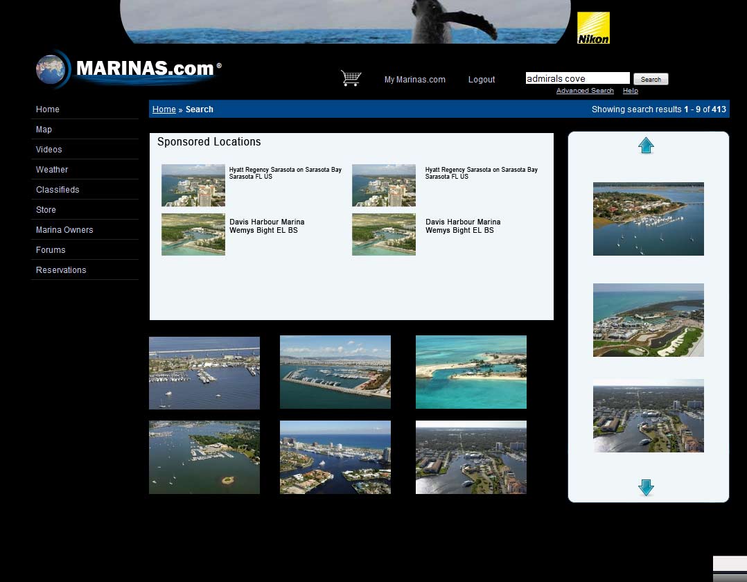
With our newly structured data, I mentored a team of designers in best practices such as HTML & CSS. We created a highly visual engaging directory where businesses can sign up to maintain their listing, pay more to show up more prominently on a map (essentially the yelp of marinas)
It was also very important to the project stakeholders to show off the high resolution images at every opportunity, which was at a direct conflict with the state of internet speeds & and screen resolution sizes in 2006.
 A bit into the project, Google Maps had just launched, and MapQuest had quoted the owners $70,000/yr and they had some concerns with Google's terms & conditions which reserved the right to run ads on the maps (their business model was going to be using their maps for marketing, after all).
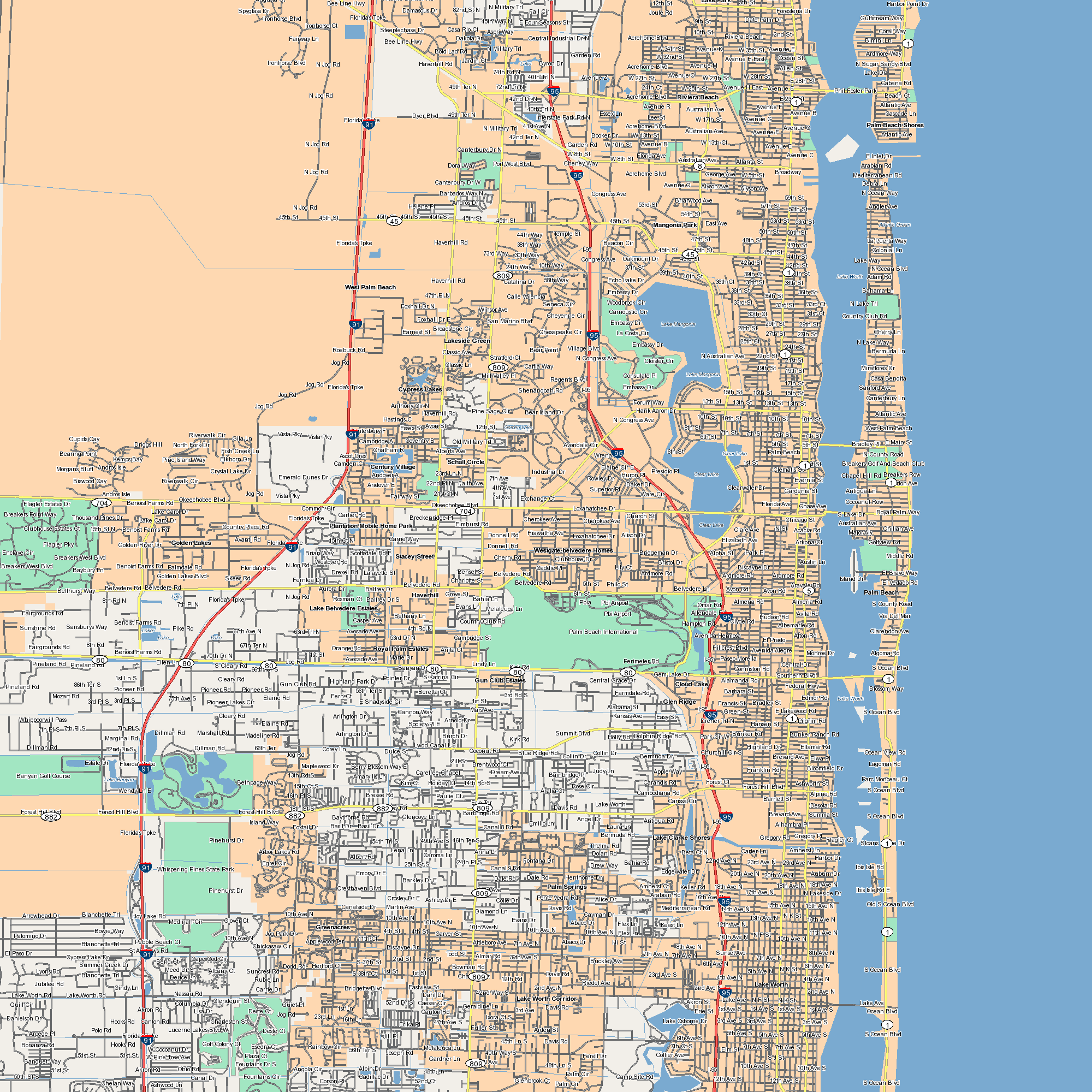
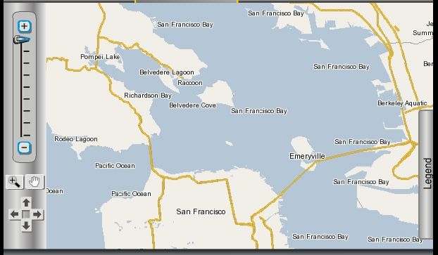
Contrary to my recommendation to use Google Maps, I was tasked with building them their own maps platform. We purchased ESRI dataset called "Street Pro". Employing trigonometry & geometric algorithms such as curve orientation, I created a map rendering system using PHP & the GD library. The system rendered out "tiles" and took advantage of optimizations such as deduplicating solid land mass or ocean. Using custom servers with large RAID arrays that I had built to spec, I oversaw 1,000s of CPU hours worth of rendering for my algorithm on the cluster. A custom map client was built in Adobe Flash using Action Script, as HTML5 was not yet prevalent at the time & this was before jQuery even hit the scene. I essentially built a Google Maps clone in 12 weeks, during the same year Google Maps launched.
I essentially built a Google Maps clone in 12 weeks, during the same year Google Maps launched.
When the client later re-evaluated the software offerings for maps, they decided Google Maps was just too compelling compared to re-inventing that wheel. In the longer run I helped switch the maps back to Google Maps because it offered more detailed maps, a richer ecosystem of integrations, and it became obvious Google was going to be very reasonable of a partner. Steve Jobs also eventually killed Flash so we would have had to re-do the UI client anyways.